Homes, condos and land for sale and rent in Upland, CA
A trolley line in the broad, tree-lined median of Euclid Avenue formerly connected Upland to the Southern Pacific Railroad line in Ontario. The trolley was pulled from Ontario to Upland by a mule, which then climbed aboard an attached trailer for the ride back down.
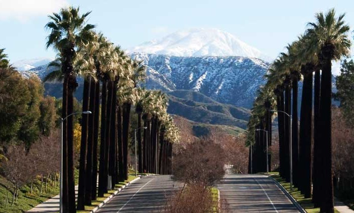
Present-day Upland maintains many of the same features, most specifically Euclid Avenue (the north-south, tree-lined street that runs through town) as well as many of the older, adobe and ranch-style houses.
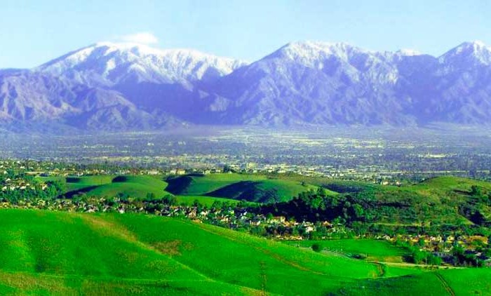
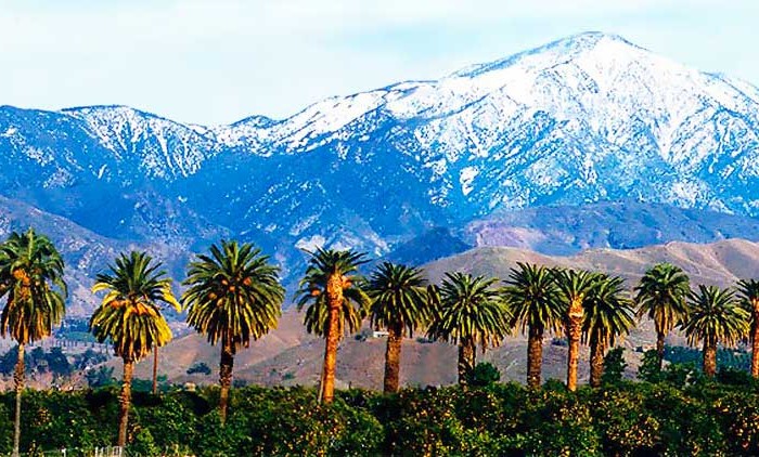
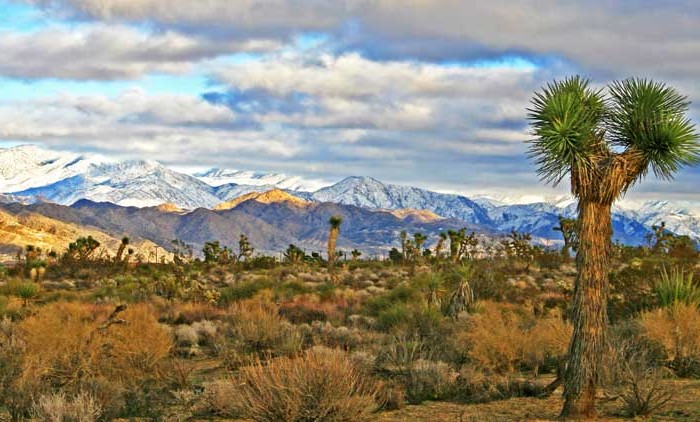
The San Gabriel Mountains are to the north of Upland. The city terrain is fairly flat but slopes gradually to the north. From south to north, the city elevation increases by 825 feet over a distance of 4.25 miles, from 1,175 feet at the intersection of 7th Street and Euclid Avenue (southern city boundary) to an elevation of 2,000 ft at the intersection of 24th Street and Euclid Avenue (northern city boundary). The highest peak in the San Gabriels, Mount San Antonio, known locally as Mount Baldy, is approximately 9.5 miles north of the Upland’s northern boundary and caps out at 10,064 feet.
Upland is bordered on the east by Rancho Cucamonga, to the south by Ontario and Montclair, to the west by Claremont, and to the north by the unincorporated community of San Antonio Heights.
The Census reported that 73,050 people (99.1% of the population) lived in households, 305 (0.4%) lived in non-institutionalized group quarters, and 377 (0.5%) were institutionalized.
There were 25,823 households, out of which 9,770 (37.8%) had children under the age of 18 living in them, 13,400 (51.9%) were opposite-sex married couples living together, 4,026 (15.6%) had a female householder with no husband present, 1,557 (6.0%) had a male householder with no wife present. There were 1,533 (5.9%) unmarried opposite-sex partnerships, and 219 (0.8%) same-sex married couples or partnerships. 5,159 households (20.0%) were made up of individuals and 1,786 (6.9%) had someone living alone who was 65 years of age or older. The average household size was 2.83. There were 18,983 families (73.5% of all households); the average family size was 3.26.
The population was spread out with 18,091 people (24.5%) under the age of 18, 7,504 people (10.2%) aged 18 to 24, 19,917 people (27.0%) aged 25 to 44, 19,322 people (26.2%) aged 45 to 64, and 8,898 people (12.1%) who were 65 years of age or older. The median age was 36.1 years. For every 100 females there were 93.1 males. For every 100 females age 18 and over, there were 89.9 males.
There were 27,355 housing units at an average density of 1,747.9 per square mile (674.9/km²), of which 14,948 (57.9%) were owner-occupied, and 10,875 (42.1%) were occupied by renters. The homeowner vacancy rate was 1.6%; the rental vacancy rate was 8.3%. 42,560 people (57.7% of the population) lived in owner-occupied housing units and 30,490 people (41.4%) lived in rental housing units.
During 2009–2013, Upland had a median household income of $62,667, with 13.5% of the population living below the federal poverty line.
Other cities in San Bernardino County
San Bernardino Real Estate for sale and rent
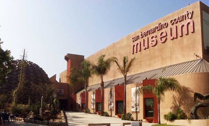
Homes, condos and land for sale and rent in San Bernardino, CA San Bernardino is a city located in the Riverside-San Bernardino metropolitan area (sometimes called the "Inland Empire"). It serves as the county seat [...]
Big Bear Lake Real Estate for sale and rent
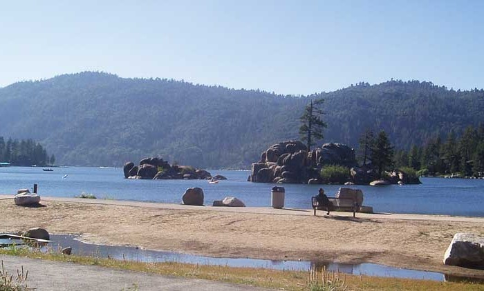
Homes, condos and land for sale and rent in Big Bear, CA Big Bear Lake is a small city in San Bernardino County, California, located in the San Bernardino Mountains along the south shore of [...]
Fontana Real Estate for sale and rent
Homes, condos and land for sale and rent in Fontana, CA Fontana is a city of 203,003 residents in San Bernardino County, California. Founded by Azariel Blanchard Miller in 1913, it remained essentially rural until [...]
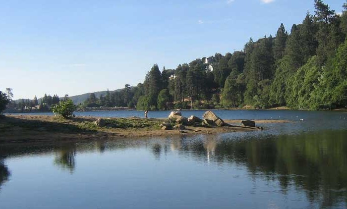
Lake Arrowhead Real Estate for sale and rent
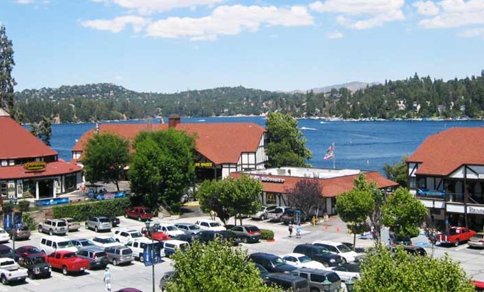
Homes, condos and land for sale and rent in Lake Arrowhead, CA Lake Arrowhead is an unincorporated community and a census-designated place (CDP) in the San Bernardino Mountains of San Bernardino County, California, within the [...]
Victorville Real Estate for sale and rent
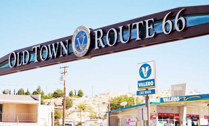
Homes, condos and land for sale and rent in Victorville, CA In 1858, Aaron G. Lane came to what is now known as Victorville and founded a way station called "Lane's Crossing." For many years [...]
Rancho Cucamonga Real Estate for sale and rent
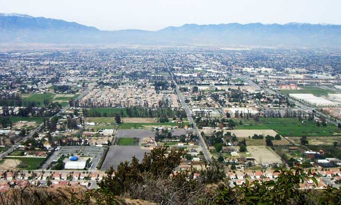
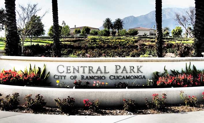
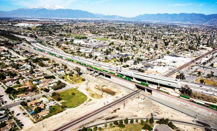
Homes, condos and land for sale and rent in Rancho Cucamonga, CA Rancho Cucamonga is a suburban city situated at the foothills of the San Gabriel Mountains in San Bernardino County, California. It is located [...]
Apple Valley Real Estate for sale and rent
Homes, condos and land for sale and rent in Apple Valley, CA The Town of Apple Valley is located in the Victor Valley of San Bernardino County, in the U.S. state of California. It was [...]
Ontario Real Estate for sale and rent
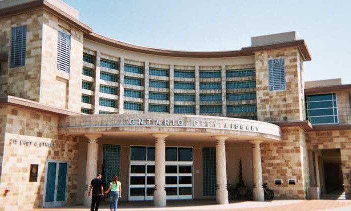
Homes, condos and land for sale and rent in Ontario, CA Ontario is a city located in southwestern San Bernardino County, California, United States, 35 miles (56 km) east of downtown Los Angeles. Located in [...]
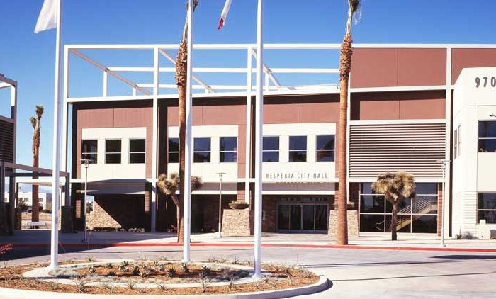
Hesperia Real Estate for sale and rent
Homes, condos and land for sale and rent in Hesperia, CA Hesperia is a city in San Bernardino County, California, United States 35 miles (56 km) north of San Bernardino in Victor Valley. This portion [...]
Chino Hills Real Estate for sale and rent
Homes, condos and land for sale and rent in Chino Hills, CA Chino Hills is an affluent city located in the southwestern corner of San Bernardino County, California, United States. The city borders Los Angeles [...]
Redlands Real Estate for sale and rent
Homes, condos and land for sale and rent in Redlands, CA Redlands is a city in San Bernardino County, California, United States. It is a part of the Greater Los Angeles area. As of the [...]
Chino Real Estate for sale and rent
Homes, condos and land for sale and rent in Chino, CA Chino is a city in San Bernardino County, California, United States. It is located in the western end of the Riverside-San Bernardino Area and [...]
Yucca Valley Real Estate for sale and rent
Homes, condos and land for sale and rent in Yucca Valley, CA Yucca Valley is an incorporated town in San Bernardino County, California, United States. The population was 20,700 as of the 2010 census. Yucca [...]
Rialto Real Estate for sale and rent
Homes, condos and land for sale and rent in Rialto, CA Rialto is a city in San Bernardino County, California, United States. The population was 99,171 with the 2010 Census. Rialto is home to four [...]
Yucaipa Real Estate for sale and rent
Homes, condos and land for sale and rent in Yucaipa, CA Yucaipa is a city located 10 miles (16 km) east of San Bernardino, in San Bernardino County, California, United States. The population was 51,367 [...]
Upland Real Estate for sale and rent
Homes, condos and land for sale and rent in Upland, CA Upland is a city in San Bernardino County, California, in the United States. The municipality is located at an elevation of 1,242 feet (379 [...]
Twentynine Palms Real Estate for sale and rent
Homes, condos and land for sale and rent in Twentynine Palms, CA Twentynine Palms (also known as 29 Palms) is a city in San Bernardino County, California, United States. It was previously called Twenty-Nine Palms. [...]
Highland Real Estate for sale and rent
Homes, condos and land for sale and rent in Highland, CA Highland is a city in San Bernardino County, California, United States. The population in 2010 (US Census) was 53,104, up from 44,605 at the [...]
Crestline Real Estate for sale and rent
Homes, condos and land for sale and rent in Crestline, CA Crestline is a census-designated place in the San Bernardino Mountains of San Bernardino County, California, USA. The population was 10,770 at the 2010 census, [...]
Colton Real Estate for sale and rent
Homes, condos and land for sale and rent in Colton, CA Colton is a city in San Bernardino County, California, United States. The city is located in the Inland Empire region of the state and [...]